Virginia community
Bluefield, Virginia

In-class workshop
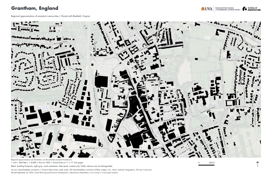
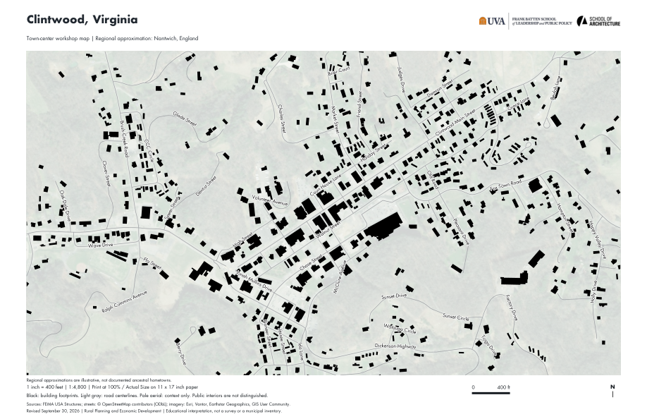
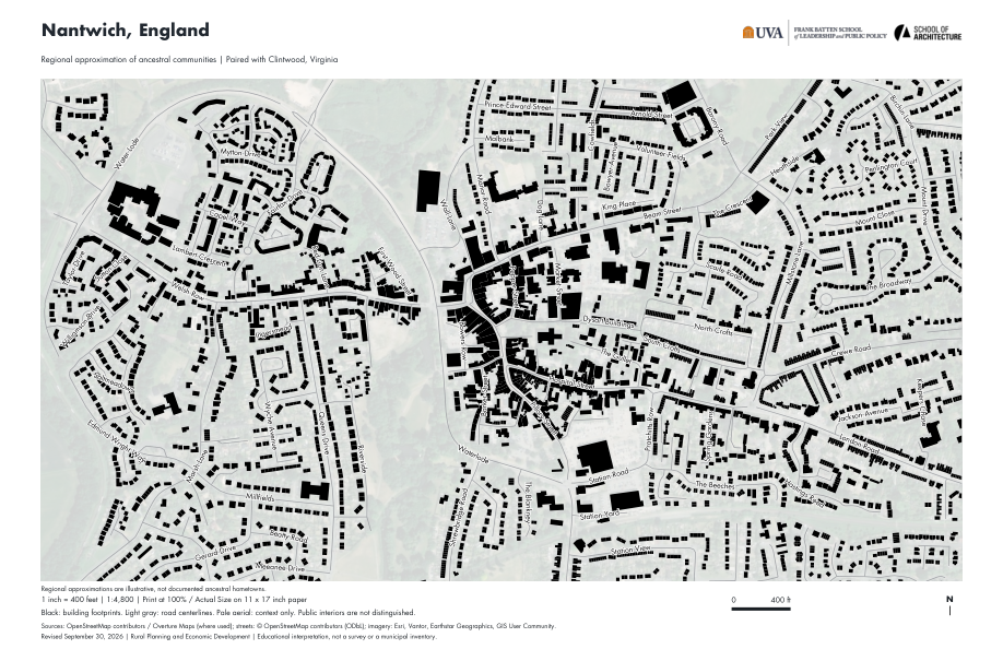
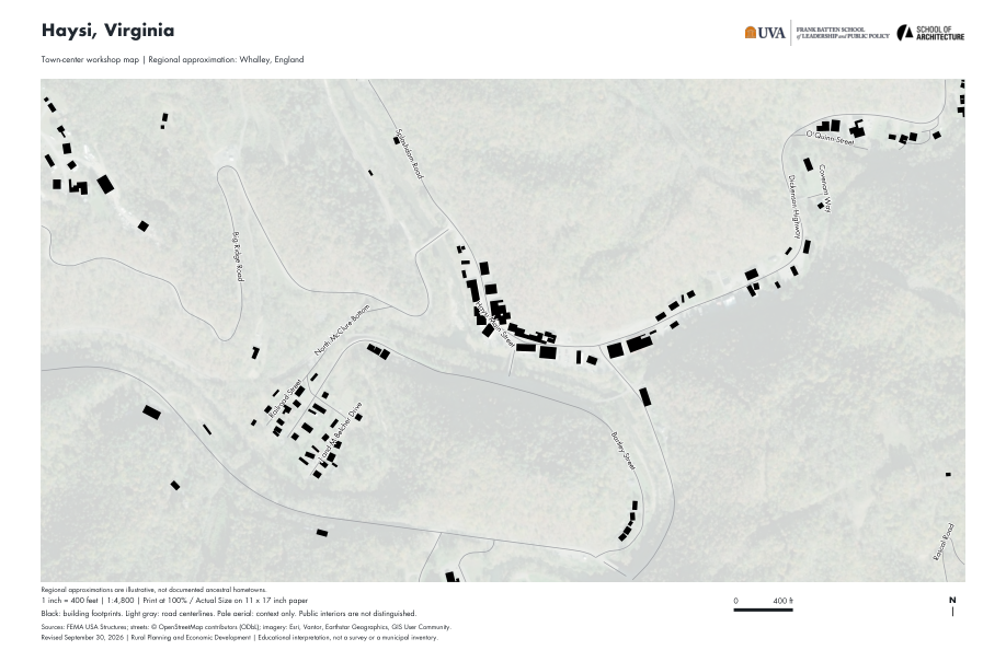
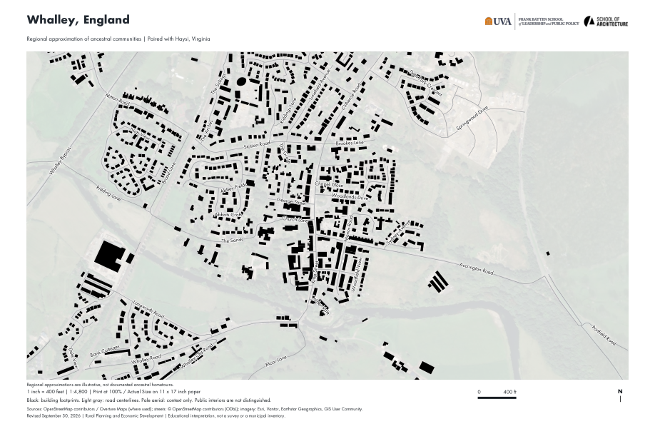
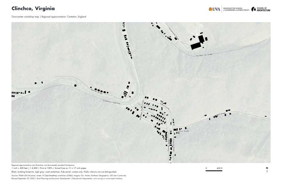
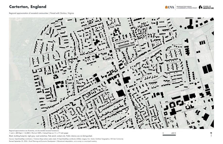
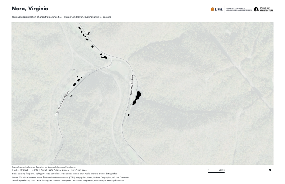
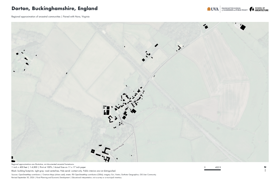
Read the town through its buildings, streets, blocks, and open spaces. Compare a Virginia community with a regional approximation of its ancestral communities, then test what you see through sketching and GIS.
Print on 11 × 17 inch paper, landscape, at Actual Size / 100%. One inch represents 400 feet. Do not use Fit to Page.
buildings.shp and streets.shp. Keep each shapefile with its accompanying .shx, .dbf, .prj, and .cpg files.name field.Map PDF opens the corresponding page of the ten-map packet. Print the full packet or select just your community pair. Each GIS ZIP includes building footprints, named street lines, their original GeoJSON files, projection information, and source notes. These are bounded workshop extracts, not complete municipal inventories.
These are Nolli-inspired figure-ground maps, not maps of publicly accessible interiors. A black footprint does not tell you a building’s use, condition, rights holder, or whether you may enter it. A blank area does not prove that no building exists.
The European places are regional approximations, not verified ancestral hometowns or proof of direct design influence. Use the comparison to discuss urban form, not to claim a documented family history.
Sources include FEMA USA Structures, OpenStreetMap contributors, and Overture Maps where used. The printed maps include pale Esri imagery for context; that imagery is not included in the GIS downloads. Layer-specific attribution, dates, licenses, field descriptions, and limitations are included in each ZIP.
Prepared for the September 30, 2026 workshop. The GIS ZIPs contain shapefile exports of the GeoJSON sources used to make these maps, not original shapefiles supplied by a locality.
UVA Batten | UVA School of Architecture
Course modules, planning tools, community projects, and practical resources for Fall 2026.
Hosted using EPRPC Timberwing Systems
Enter your UVA computing ID and the semester code provided by your instructor.
Confirming your saved course access…
Use the ID before @virginia.edu. No ChatGPT or Google sign-in is required. After a successful sign-in, this browser will remember the student through December 31, 2026, unless the student signs out or clears browser data. The site does not use an IP address as a login credential.
Already enrolled and need help? Email jth4qt@virginia.edu.